
Inertial Systems
Reliable navigation requires continuous and accurate position, velocity and orientation data—even when satellite signals are unavailable, degraded, jammed or spoofed. General Guidance provides advanced inertial navigation systems from Inertial Labs and JAVAD GNSS, developed for reliable operation in GNSS-enabled, GNSS-challenged and GPS-denied environments.
Our portfolio includes Attitude and Heading Reference Systems (AHRS), single- and dual-antenna GNSS-aided Inertial Navigation Systems (INS), compact OEM modules, rugged tactical navigation systems, Fiber Optic Gyroscope-based solutions and advanced vision- and LEO-aided navigation technologies. By combining calibrated gyroscopes and accelerometers with GNSS, magnetometers, optical sensors and other available aiding sources, these systems provide accurate heading, pitch, roll, position and velocity across a wide range of operating conditions.
Selected solutions also provide enhanced navigation continuity and protection against GNSS interference, including jamming and spoofing detection, mitigation and alternative positioning technologies. This enables dependable performance in a GPS-denied environment where conventional satellite navigation alone cannot provide the required accuracy or availability.
Designed for UAVs, UGVs, autonomous vehicles, aircraft, maritime platforms, surveying and mapping systems, antenna-pointing applications and defense operations, these inertial systems support both embedded integration and complete platform-level deployment. Whether the requirement is a lightweight OEM INS for an unmanned vehicle or a rugged high-performance navigation system for mission-critical applications, General Guidance can help identify the appropriate technology and configuration.
Inertial Labs Inertial Navigation Systems & AHRS
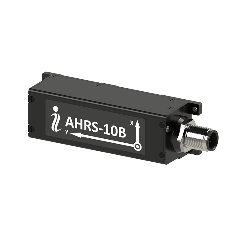
AHRS-10B
Compact Attitude and Heading Reference System providing accurate heading, pitch and roll for static and dynamic platforms. Calibrated MEMS gyroscopes and accelerometers with an embedded magneto-inductive compass support industrial platform stabilization, pointing and rapidly rotating applications.
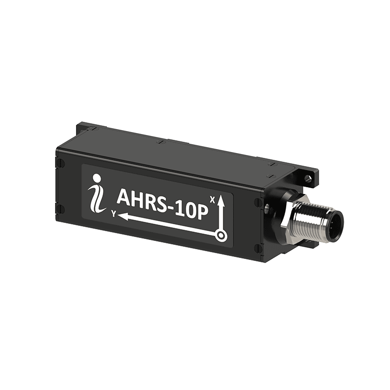
AHRS-10P
Professional Attitude and Heading Reference System with tactical-grade MEMS sensors and a gyro-compensated fluxgate magnetic compass. It delivers accurate real-time heading, pitch and roll for tactical pointing, platform stabilization, north finding and demanding motion-control applications.
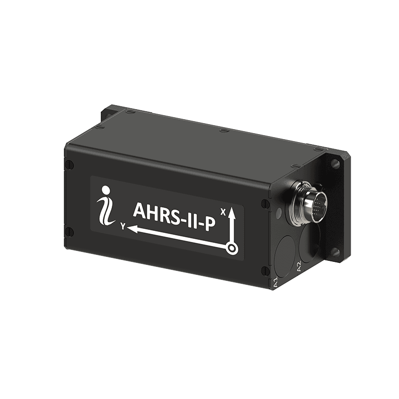
AHRS-II-P
High-performance AHRS combining a tactical-grade IMU, fluxgate magnetic compass and advanced sensor-fusion filtering. Support for external GNSS or compass aiding improves dynamic orientation accuracy for UAVs, aircraft, marine platforms, robotics and navigation-aiding applications.
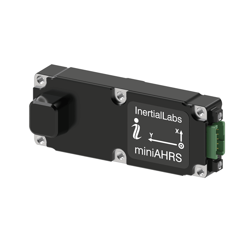
miniAHRS
Ultra-compact, lightweight AHRS providing real-time heading, pitch and roll from calibrated MEMS gyroscopes, accelerometers and an embedded fluxgate magnetic compass. Designed for space-constrained UAVs, robotics, fire-control systems, gimbals and platform-stabilization applications.
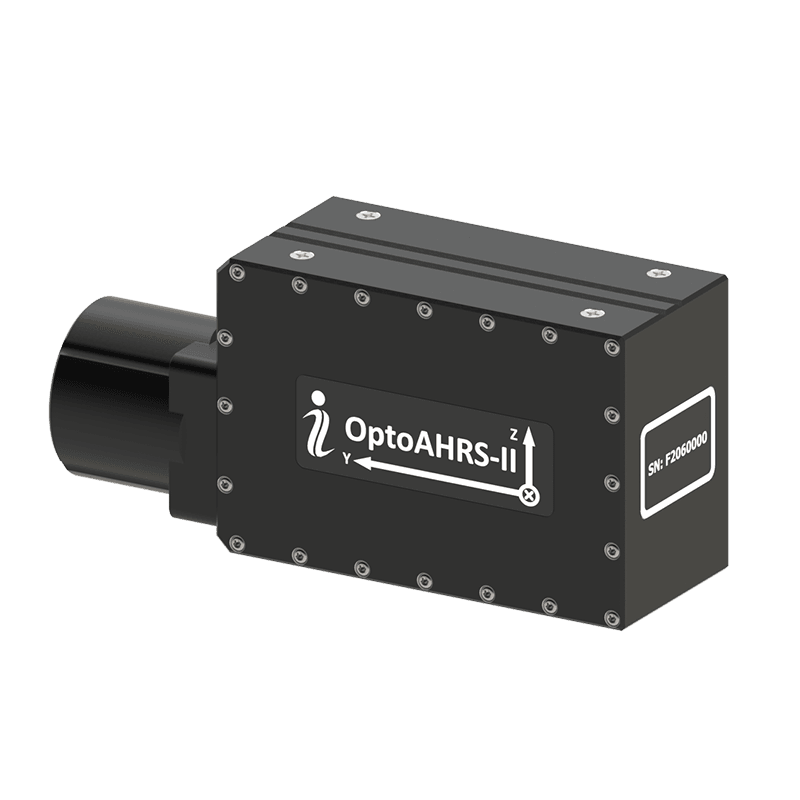
OptoAHRS-II
Optically enhanced AHRS combining a tactical-grade IMU, fluxgate magnetic compass and single- or dual-camera capability. It supports accurate GNSS-independent orientation for antenna pointing, indirect fire-control training, observation systems and dynamic platform stabilization.

INS-B-OEM
Compact single-antenna OEM GNSS-aided Inertial Navigation System combining a tactical-grade MEMS IMU with advanced sensor-fusion algorithms. It provides position, velocity and full attitude data for embedded UAV, UGV, autonomous vehicle, mapping and surveying applications.

INS-P-OEM
Professional single-antenna OEM GNSS-aided INS with a gyro-compensated fluxgate magnetic compass for improved heading performance during GNSS outages. It delivers precise position, velocity and attitude for UAVs, autonomous platforms, surveying and navigation in GPS-denied environments.
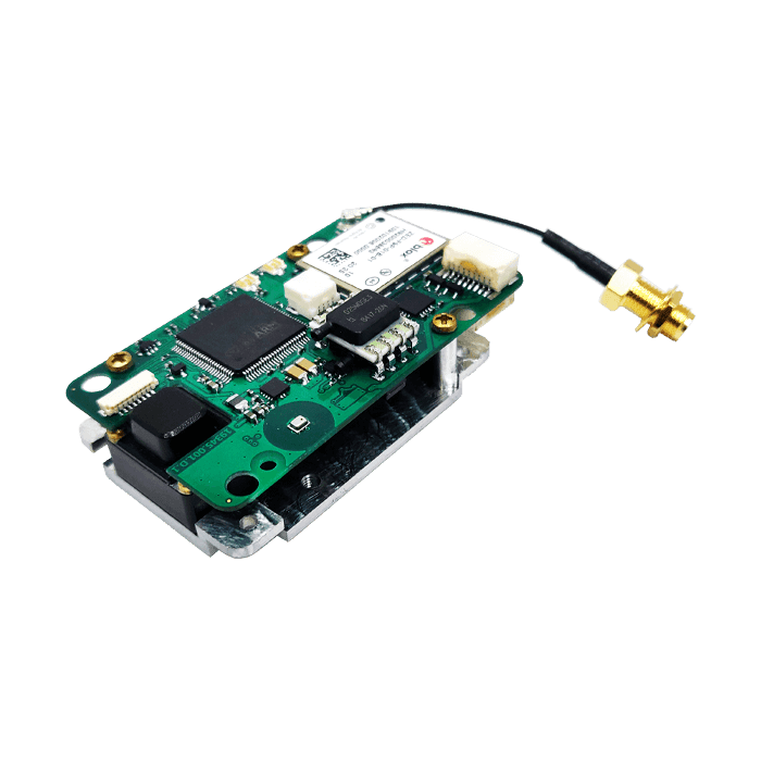
INS-U-OEM
Compact OEM GNSS-aided Inertial Navigation System integrating INS, AHRS and an Air Data Computer. Multi-constellation GNSS, calibrated MEMS sensors and pressure measurements support airspeed estimation, flight control and navigation for fixed-wing and rotary-wing UAV platforms.

INS-D-OEM
High-precision dual-antenna OEM GNSS-aided INS providing position, velocity, heading, pitch and roll for embedded navigation applications. Tactical-grade MEMS sensors, RTK and PPK support make it suitable for UAVs, vehicles, mapping and GNSS-challenged operations.
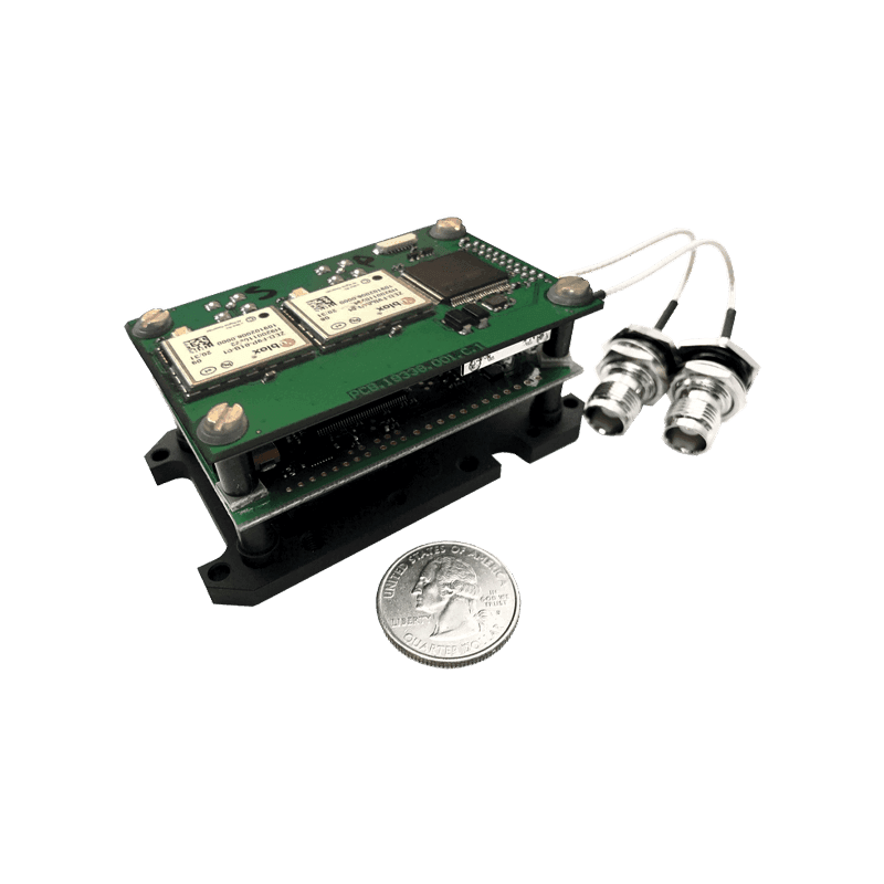
INS-DU-OEM
Cost-effective dual-antenna OEM Inertial Navigation System featuring an all-constellation u-blox GNSS receiver, calibrated MEMS sensors and RTK positioning. It provides reliable heading, position, velocity and attitude for autonomous platforms, surveying, scanning and embedded navigation.

INS-DL-OEM
Affordable dual-antenna OEM GNSS-aided INS combining an industrial-grade MEMS IMU with RTK and PPK capabilities. It delivers accurate position, heading and orientation for antenna pointing, industrial navigation, UAVs, mapping and cost-effective surveying systems.
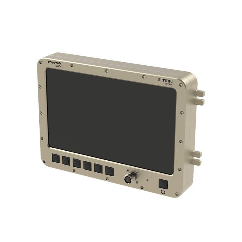
CheetahNAV
Tactical navigation system for ground vehicles operating in GNSS-enabled and GPS-denied environments. CheetahNAV combines inertial and satellite navigation with real-time moving-map guidance and situational awareness. Optional capabilities include battle-management integration, anti-jamming and anti-spoofing protection, messaging and additional displays.
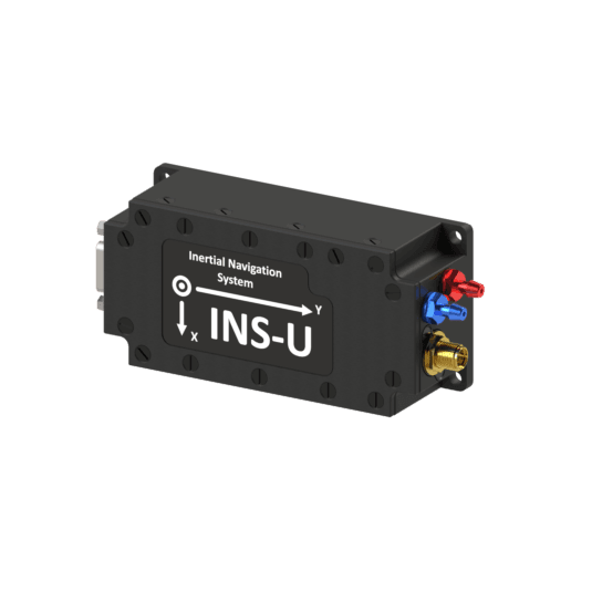
INS-U
Compact IP67 GNSS-aided Inertial Navigation System integrating INS, AHRS and an embedded Air Data Computer. It provides position, velocity, attitude, airspeed and pressure-derived flight data for fixed-wing UAV control and navigation in GNSS-enabled and GPS-denied environments.
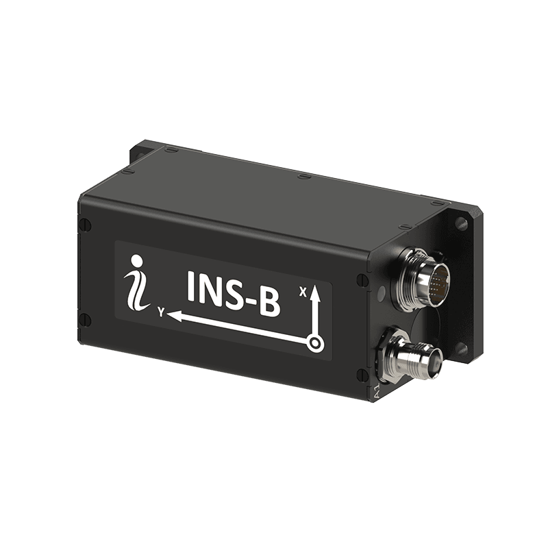
INS-B
Basic single-antenna GNSS-aided Inertial Navigation System combining a tactical-grade MEMS IMU with advanced sensor fusion. It delivers accurate position, velocity and full attitude data for UGVs, land vehicles, UAVs, autonomous platforms and mapping applications.
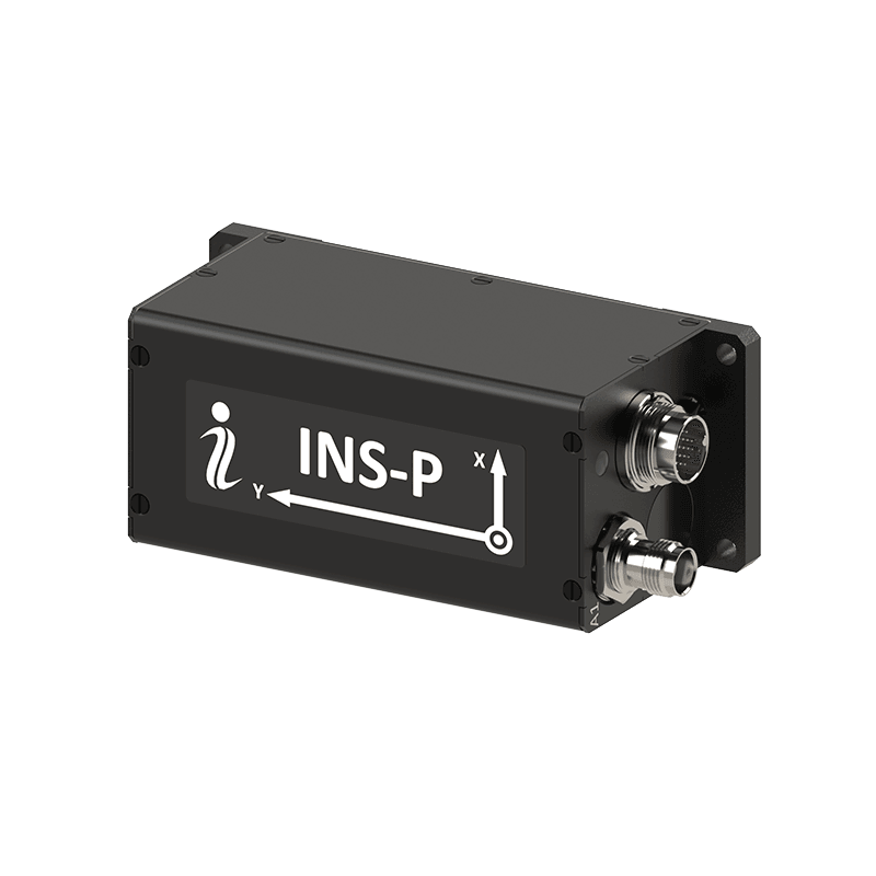
INS-P
Professional single-antenna GNSS-aided INS with a gyro-compensated fluxgate magnetic compass for dependable heading during GNSS outages. It provides precise position, velocity and attitude for UAVs, north finding, autonomous platforms and extended GPS-denied navigation.
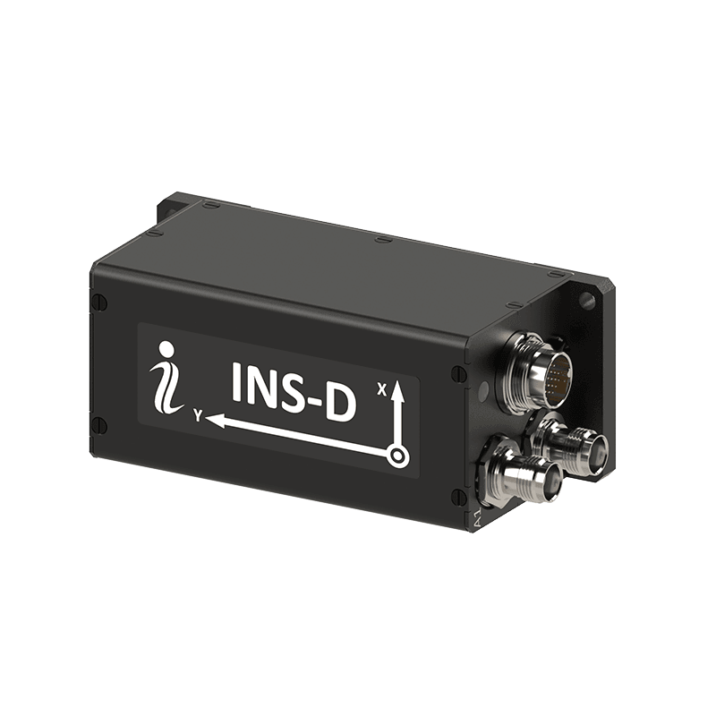
INS-D
High-precision dual-antenna GNSS-aided Inertial Navigation System delivering accurate position, velocity and true heading from dual-antenna GNSS measurements. Tactical-grade MEMS technology and RTK and PPK support suit heavy vehicles, aircraft, UAVs, mapping and GNSS-challenged navigation.
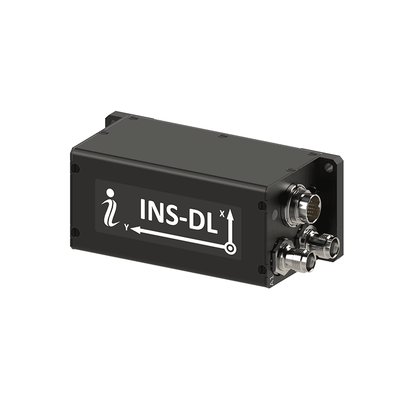
INS-DL
Cost-effective dual-antenna GNSS-aided INS with an industrial-grade MEMS IMU and precise GNSS heading. Designed for antenna pointing, industrial vehicles, UAVs, surveying and mapping applications requiring reliable position, velocity and orientation at an affordable price.
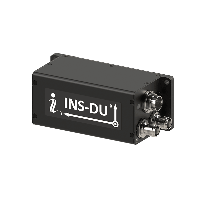
INS-DU
Affordable dual-antenna Inertial Navigation System integrating an all-constellation u-blox GNSS receiver, calibrated MEMS sensors and RTK and PPK positioning. It supports autonomous vehicles, UAVs, survey systems and scanning applications requiring accurate heading and resilient GNSS-aided navigation.

INS-DM
Rugged dual-antenna GNSS-aided Inertial Navigation System designed for demanding land, airborne and maritime platforms. It combines tactical-grade inertial sensing, precise GNSS heading, advanced sensor fusion and multiple aiding interfaces, with optional Air Data Computer and data-logging configurations.
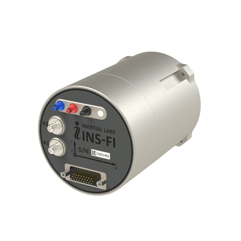
INS-FI
High-performance GNSS-aided Inertial Navigation System integrating tactical-grade Fiber Optic Gyroscopes, MEMS accelerometers, AHRS and advanced sensor fusion. Single- or dual-antenna GNSS configurations and optional internal or external air-data aiding support precise navigation across land, aerospace and maritime applications.
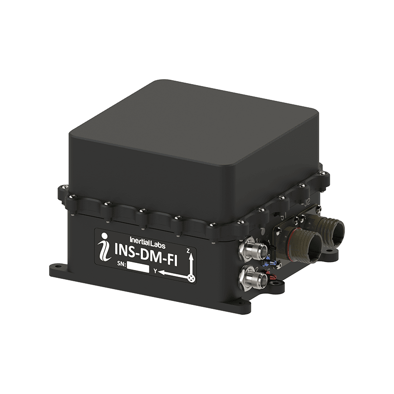
INS-DM-FI
Rugged dual-antenna GNSS-aided Inertial Navigation System combining tactical-grade Fiber Optic Gyroscopes, MEMS accelerometers, AHRS and MRU functions. Advanced sensor fusion and an optional embedded Air Data Computer support precise navigation for mission-critical land, aerospace and maritime platforms.

IRINS-DM
LEO- and GNSS-aided Inertial Navigation System integrating tactical-grade MEMS sensors, AHRS, GNSS and an Iridium STL receiver, with an optional embedded Air Data Computer. Jamming and spoofing mitigation support assured PNT in contested and GNSS-denied environments.
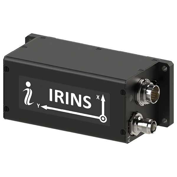
IRINS
Compact LEO-aided Inertial Navigation System combining tactical-grade inertial sensing, AHRS and a GNSS-independent Iridium STL PNT receiver. Anti-jam GNSS integration supports resilient positioning, navigation and timing across land, air and sea in denied, degraded and disrupted environments.
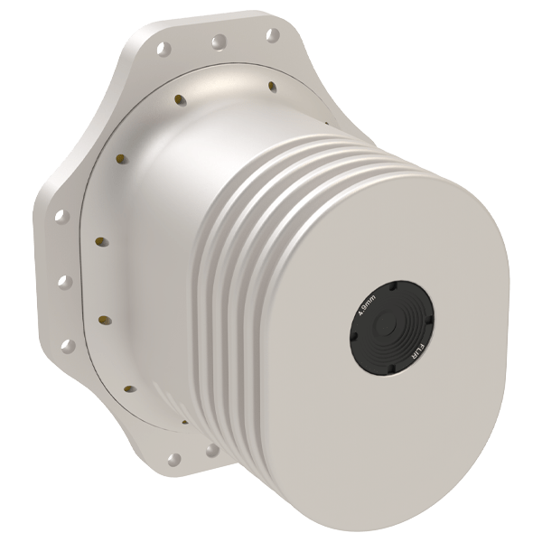
VINS
Vision-Aided Inertial Navigation System combining INS, AHRS, calibrated inertial sensors and machine-vision algorithms, with optional air-data aiding. Designed for fixed-wing, VTOL and multirotor UAVs, it maintains position, velocity and attitude during jamming, spoofing and extended GPS-denied missions.
JAVAD GNSS-Aided Inertial Navigation Systems
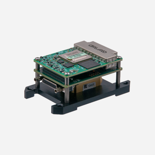
TR-2S INS
Compact OEM GNSS-aided Inertial Navigation System combining 874-channel, multi-constellation GNSS with calibrated and temperature-compensated inertial sensors. It provides precise uninterrupted navigation, full attitude determination, RTK positioning and integrated spoofing and jamming detection.
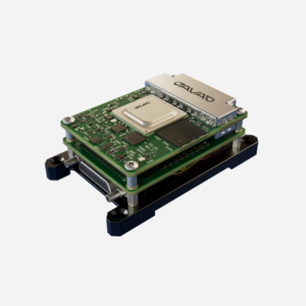
TR-2S HDA INS
Compact OEM GNSS-aided Inertial Navigation System designed for precise position and attitude in high-dynamics applications. It combines 874-channel all-constellation GNSS tracking with calibrated inertial sensors, spoofing and jamming detection, and IPC Class 3 electronics.
TR-2S AJ INS
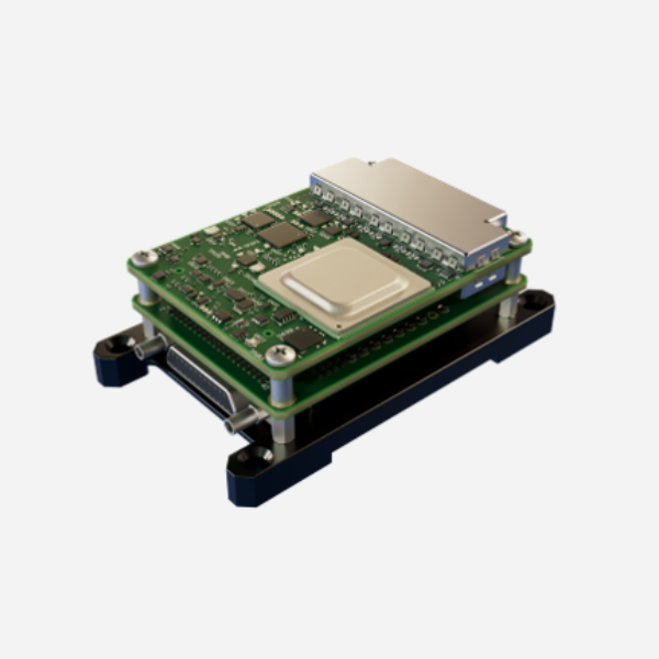
Compact OEM GNSS-aided Inertial Navigation System engineered for resilient operation in interference-prone environments. Calibrated inertial sensors, in-band interference rejection, spoofing and jamming detection and suppression, and full attitude determination support reliable navigation for embedded platforms.
TR-3S DUO INS
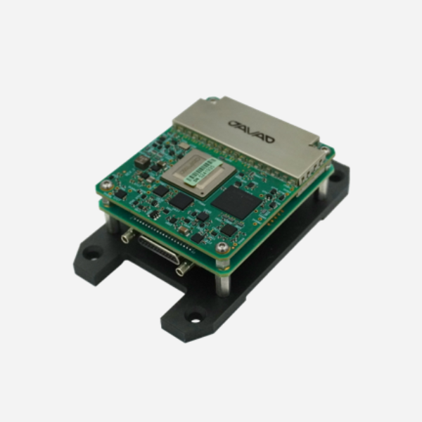
Compact dual-antenna OEM GNSS-aided Inertial Navigation System providing precise position, heading and full attitude data. It combines 874-channel all-constellation GNSS tracking, calibrated inertial sensors, RTK positioning, spoofing and jamming detection, and flexible integration interfaces.