
LiDAR Payloads
Advanced LiDAR Payloads for Precision Mapping and Remote Sensing
RESEPI™ (Remote Sensing Payload Instrument) LiDAR payloads combine high-performance laser scanners with GNSS-aided inertial navigation, data logging, imaging and communications in compact systems designed for accurate 3D mapping. Available configurations combine LiDAR scanners from Ouster, Hesai, Livox, Velodyne and Teledyne with Inertial Labs tactical-grade inertial sensors and GNSS-aided navigation. They support RTK and PPK positioning, while PCMasterPro enables trajectory processing and georeferenced 3D point-cloud generation.
The platform can be operated through a hardware button or wireless web interface and supports Wi-Fi, cellular RTCM corrections and high-speed data transfer. These modular LiDAR mapping solutions support aerial, vehicle-mounted and handheld data collection for land surveying, utility inspection, construction monitoring, corridor mapping, forestry, mining and precision agriculture. Selected systems also provide SLAM, real-time point-cloud visualization, high-resolution RGB imaging and field-swappable interfaces for efficient platform integration.
General Guidance supplies RESEPI GEN-II, LITE, Ultra LITE and TELEDYNE EchoONE configurations and helps customers select the appropriate LiDAR payload, scanner, camera and mounting solution for their operational platform, required range, accuracy and data-processing workflow.
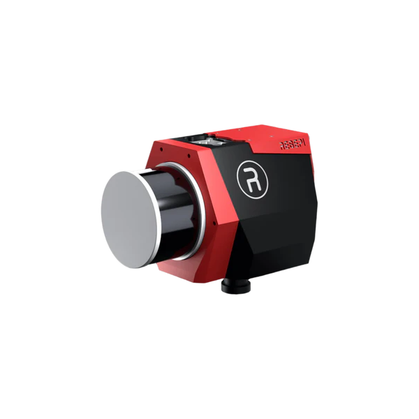
RESEPI GEN-II M2X-ILX
Next-generation LiDAR mapping payload combining the Hesai XT-32M2X scanner, dual-antenna GNSS-aided inertial navigation and a 61 MP Sony camera. Extended detection range, 360° coverage and real-time point cloud visualization enable efficient aerial, mobile and pedestrian mapping for large-area surveying, utility inspection, construction, forestry and mining applications.
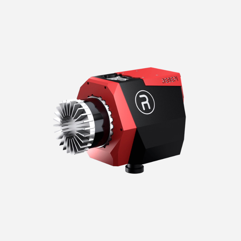
RESEPI GEN-II OS1-ILX
Advanced LiDAR scanning and mapping payload integrating the 64-channel Ouster OS1-64 REV7, dual-antenna GNSS-aided inertial navigation and a 61 MP Sony camera. Its 45° vertical field of view and multiple scanning modes support efficient 3D data collection for site surveying, utility mapping, construction, agriculture, forestry and mining.
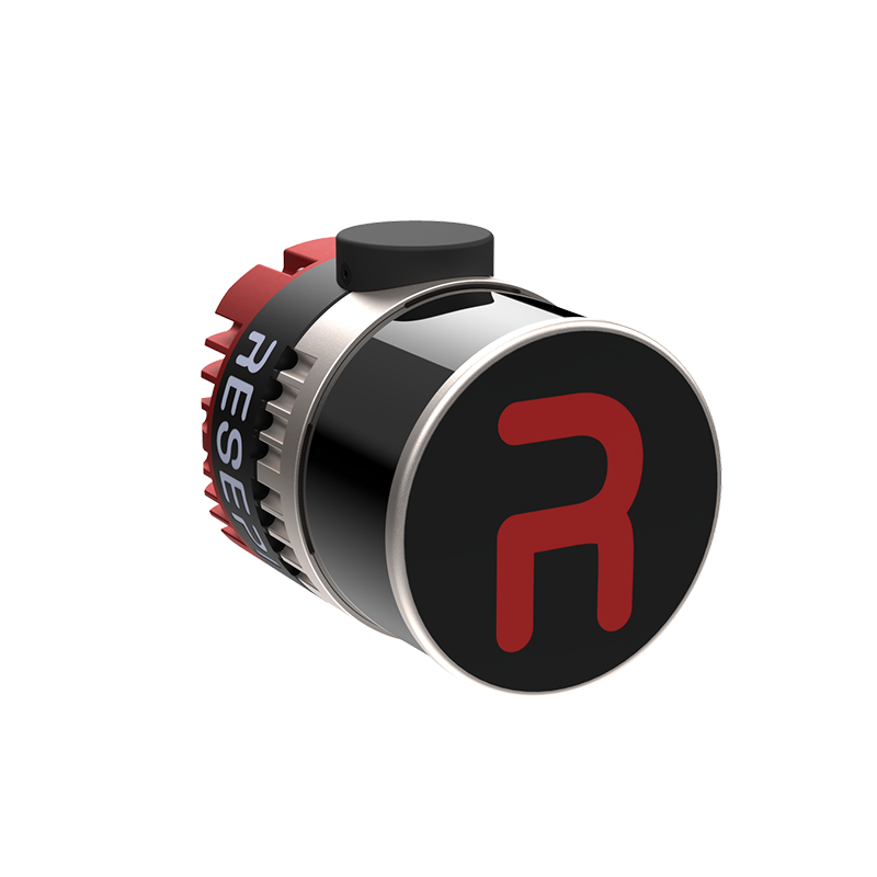
RESEPI ULTRA LITE
Compact 1.2 kg LiDAR mapping payload combining the XT-32 scanner, GNSS-aided inertial navigation and an embedded 5 MP colorization camera. SnapFit adapters simplify integration with DJI, Freefly and WISPR platforms, while aerial, handheld SLAM and vehicle-mounted modes support surveying, construction, utilities, agriculture, forestry and mining.
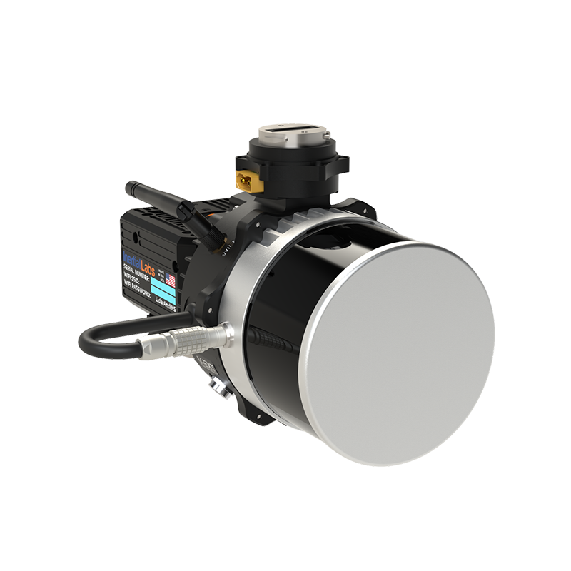
RESEPI LITE XT-32
Compact LiDAR mapping payload built around the 32-channel XT-32 scanner, GNSS-aided inertial navigation and optional 24 MP RGB imaging. Its 360° horizontal field of view supports aerial, mobile and handheld data collection, making RESEPI LITE XT-32 a cost-effective solution for site surveying, construction monitoring, utility mapping, mining and volumetric measurement.
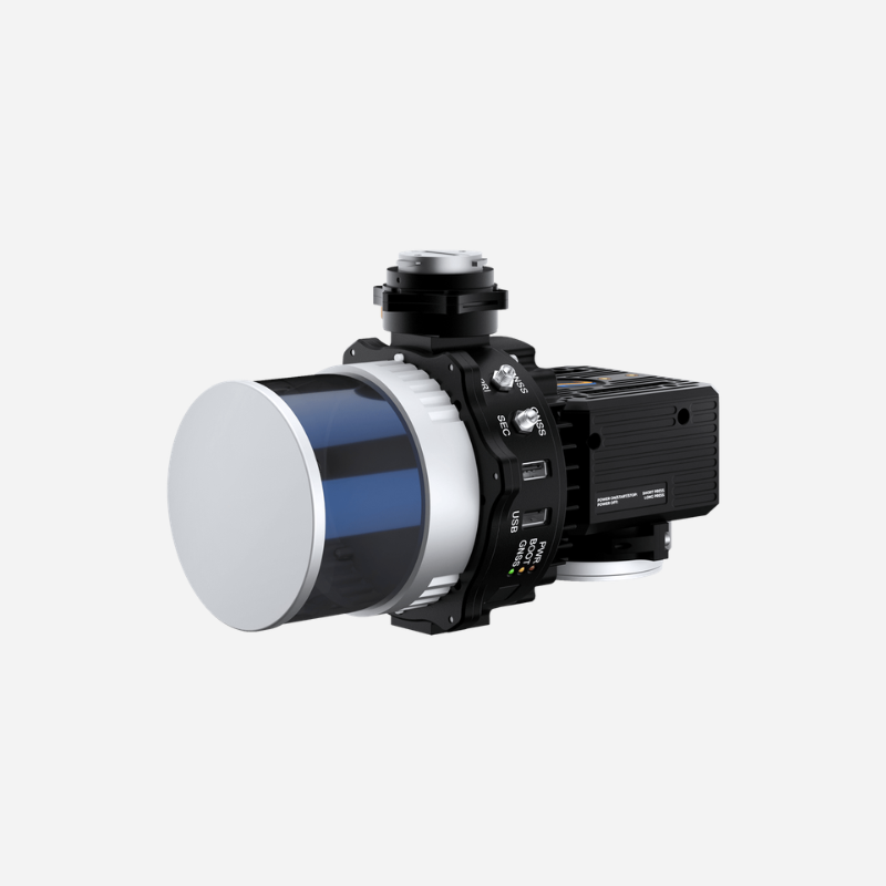
RESEPI LITE XT-32M2X
Lightweight LiDAR scanning and mapping payload integrating the enhanced XT-32M2X scanner with GNSS-aided inertial navigation and optional 24 MP RGB imaging. Extended detection range, wider vertical coverage and operation up to 150 m AGL enable efficient mapping of large areas, utilities, construction sites, dense vegetation, agricultural land and mining operations.
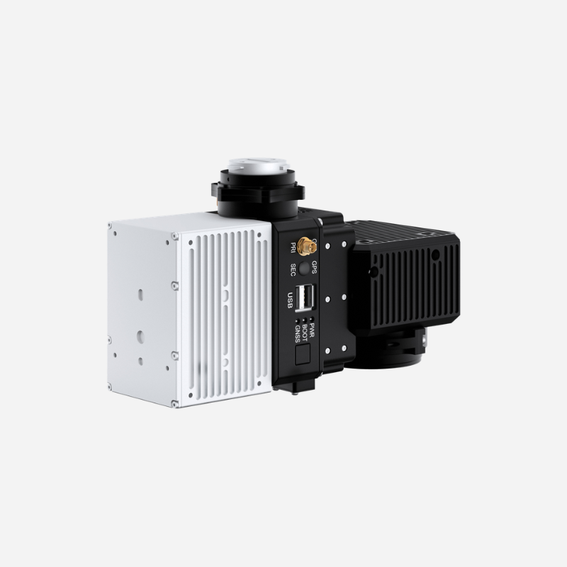
RESEPI LITE AVIA
Lightweight LiDAR mapping payload combining the Livox Avia scanner, GNSS-aided inertial navigation and optional RGB imaging. Its concentrated scan pattern provides high point density, while the sub-1 kg configuration without camera supports longer UAV missions. RESEPI LITE AVIA is ideal for power-line surveys, airport runways, racetracks and large-area mapping.
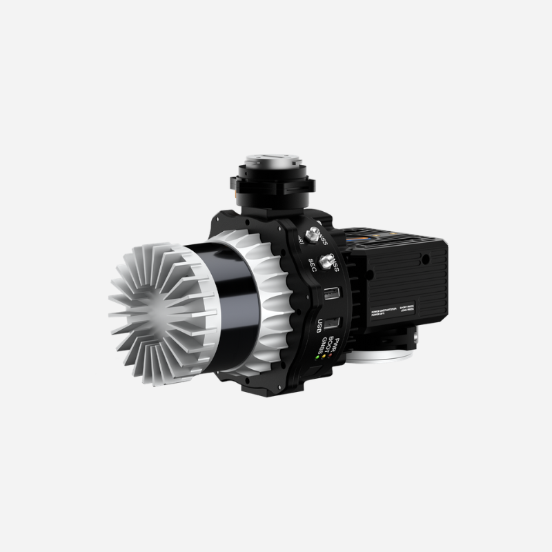
RESEPI LITE OS1-64
Versatile LiDAR mapping payload integrating the 64-channel Ouster OS1-64 REV7 with GNSS-aided inertial navigation and optional 24 MP RGB imaging. A 45° vertical field of view, multiple scanning modes and compact design support efficient aerial, mobile and handheld surveys for utilities, construction, precision agriculture, forestry, mining and detailed 3D mapping.
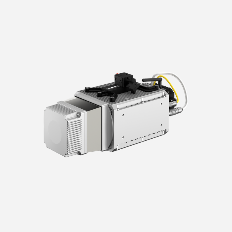
RESEPI LITE CL-360HD
High-precision LiDAR mapping payload combining the Teledyne Optech CL-360HD four-return scanner with RESEPI GNSS-aided inertial navigation and data logging. Long-range performance, strong vegetation penetration and precise point-cloud generation make RESEPI LITE CL-360HD suitable for corridor mapping, forestry, infrastructure inspection, airport runways and demanding large-area surveys.
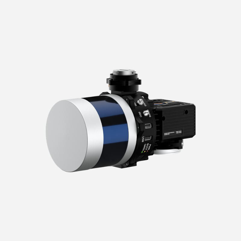
RESEPI LITE VLP-32C
Proven LiDAR scanning and mapping payload integrating the 32-channel Velodyne VLP-32C with GNSS-aided inertial navigation and optional 24 MP RGB imaging. Its 360° horizontal and 40° vertical field of view supports flexible UAV, vehicle and handheld deployment for construction volumetrics, site surveying, agriculture, forestry and detailed 3D mapping.
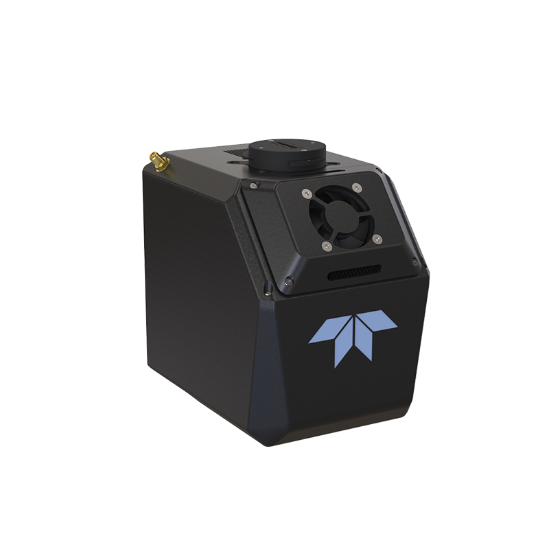
TELEDYNE EchoONE
NDAA-compliant airborne LiDAR mapping solution combining Teledyne Geospatial laser technology with an Inertial Labs KERNEL-210 tactical-grade IMU and integrated 5 MP camera. Up to eight returns per pulse, long-range scanning and real-time georeferenced point clouds make EchoONE suitable for utility corridors, transportation infrastructure, vegetation penetration and high-accuracy large-area mapping.