
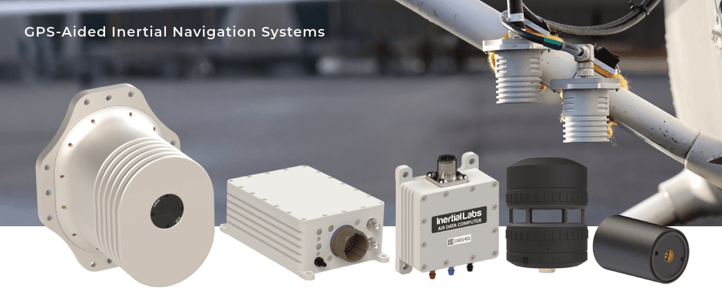
As an official partner and distributor of Inertial Labs (VIAVI Solutions) technologies, General Guidance is pleased to share the latest case study demonstrating the successful integration of advanced inertial navigation systems with vision-based positioning software to achieve highly reliable navigation in GNSS-denied and GNSS-degraded environments.
The case study highlights how VINS combined high-precision inertial navigation technology from Inertial Labs with the Raptor Guide™ Vision-Based Positioning Software developed by Vantor™ to create a resilient and accurate positioning solution for autonomous and mobile platforms operating in challenging environments.
Addressing the Growing Challenge of GNSS-Denied Operations
As autonomous systems increasingly operate in urban environments, complex terrain, and signal-restricted areas, traditional satellite-based navigation systems alone are often insufficient to maintain continuous positioning and operational reliability.
To address these challenges, VINS required a navigation architecture capable of maintaining stable real-time positioning even when GNSS signals became unreliable, degraded, or completely unavailable.
By integrating Inertial Labs’ high-performance inertial navigation system (INS) with Vantor’s Raptor Guide™ software, the solution combines inertial measurement data with visual positioning inputs to maintain precise localization and operational continuity.
Key Benefits of the Integration
The integrated solution delivered significant operational improvements, including:
- Reliable positioning performance in GNSS-denied and GNSS-degraded environments
- Enhanced positioning accuracy and navigation stability
- Seamless sensor fusion between inertial and vision-based technologies
- Improved situational awareness for autonomous platforms
- Scalable deployment across multiple mission profiles and industries
This sensor fusion approach enables platforms to continue operating with high precision even when external navigation infrastructure is unavailable.
Supporting Next-Generation Autonomous Systems
The successful integration demonstrates how modern navigation systems are evolving beyond reliance on a single sensor technology. Combining inertial navigation systems (INS) with vision-based positioning software provides the redundancy, resilience, and reliability required for advanced autonomy applications.
These technologies are increasingly critical for:
- Unmanned aerial vehicles (UAVs)
- Autonomous ground systems
- Robotics and automation platforms
- Mobile mapping systems
- Defense and security applications
- Critical infrastructure inspection and monitoring
The case study further reinforces Inertial Labs’ commitment to delivering precision navigation technologies designed to perform in the most demanding operational environments where reliability is mission-critical.
For more information about Inertial Labs navigation technologies and integrated autonomous solutions available through General Guidance, please contact our team